

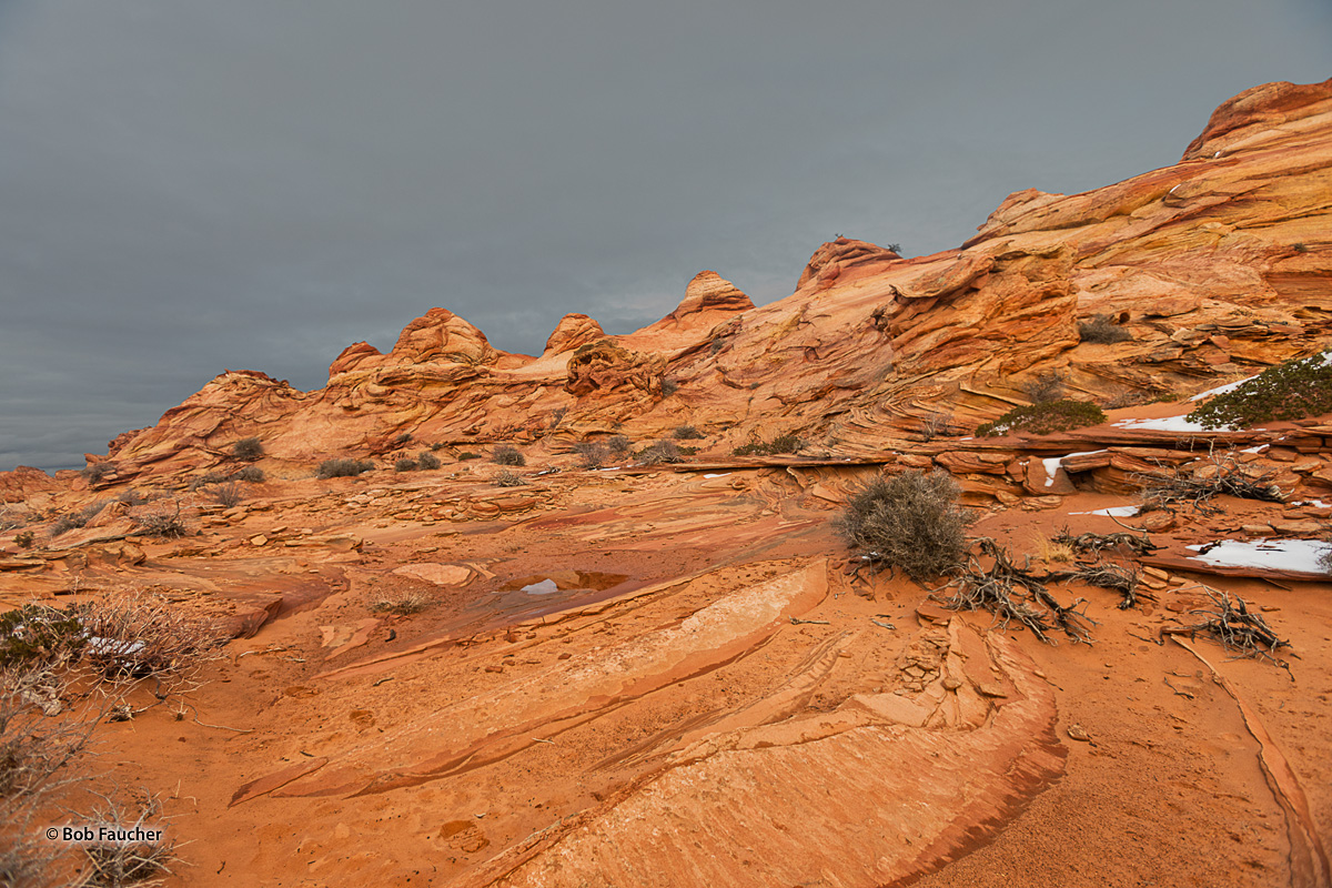

Teepees
Arizona
Extensive formations in the southern section of Coyote Buttes, centered on Cottonwood Spring, a seasonal water source in a sandy valley on the east side of the main ridge. Reached by sandy tracks that generally need a 4WD vehicle, and explored by relatively easy cross-country hiking, over slickrock and dunes. Part of Vermilion Cliffs National Monument this area is relatively easy to explore, since the majority of the ground is firm rock, largely lacking vegetation, separated by just a few sandier patches, and most parts have gentle relief, though the ground does slope down quite sharply to the west, dropping up to 300 feet to the valley floor. Some Southwest erosional landscapes require patience when exploring, to find the best places and angles, but here almost every cone and gully is worthy of a photograph. The edge of the formations is half a mile from the closest parking place, along a sandy 4WD track, and much can be seen in a circular walk of just a mile or so, but to cover all of the area, extending to a dispersed group of teepees on the far side of the valley, entails a round trip of up to five miles. Photo © copyright by Robert Faucher.